※Note
- The actual value for the applicable period is the average of each period (semi-month: 1st to 15th, 16th to end of month, month: 1st to end of month) (Precipitation is the integrated value).
- The ratio anomaly is the ratio of the actual value to the normal for the selected period. The difference anomaly is the difference between the actual value and the normal value for the selected period.
Normal values are calculated based on meteorological and vegetation data from January 2013 to December 2019. - The gray area in the figure is the data loss area.
- For details on each data item, please refer to the User's Guide ("3 Data Items") .
Daily and weekly precipitation map
※Note
- The weekly accumulated rainfall is the total amount of precipitation over the past 7 days, including the selected day.
- Images of the day will be updated and displayed after 14:00 Japan time.
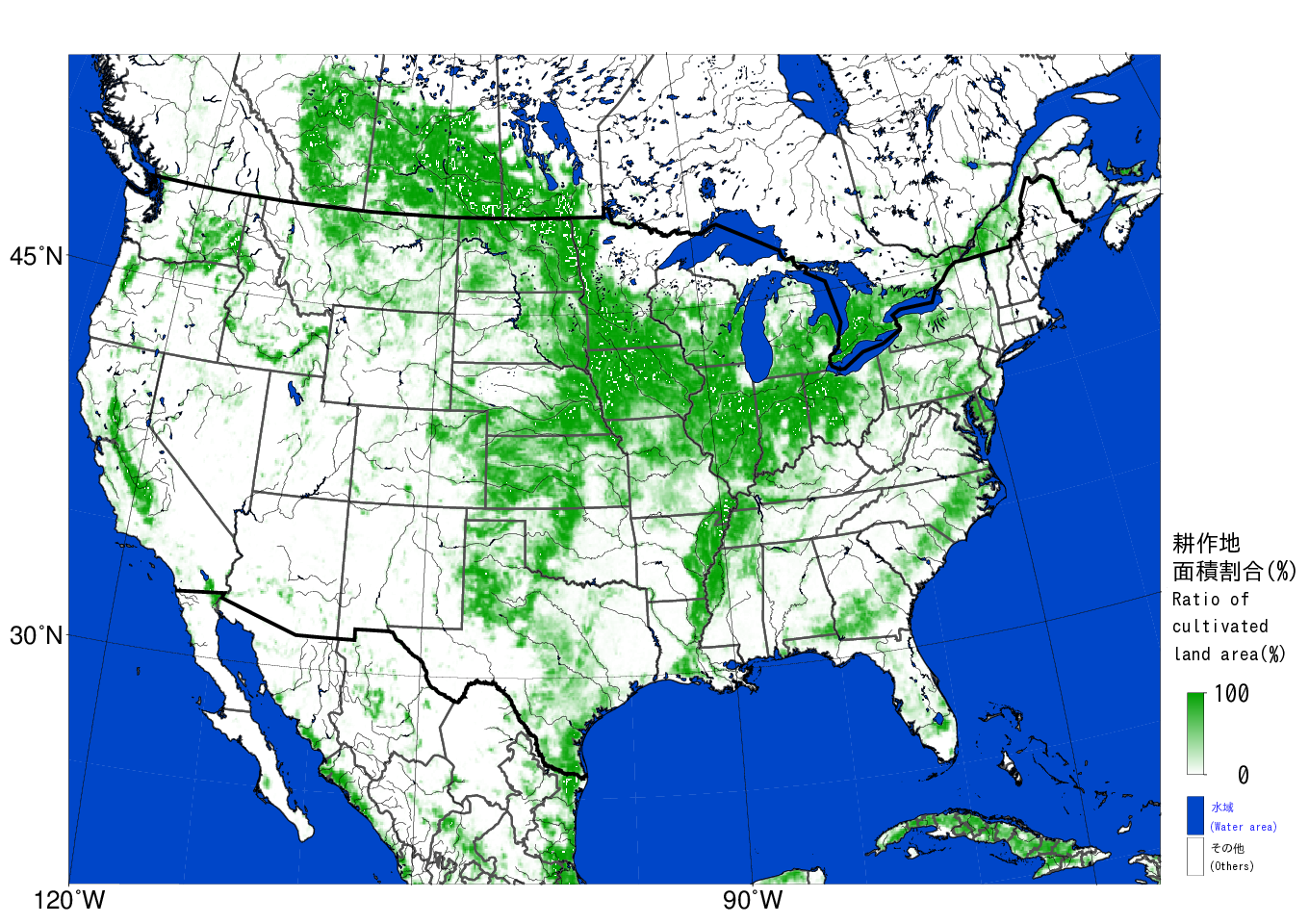
(Reference) Land cover map
※Note
- The land cover map is colored according to the percentage of cultivated land area calculated for each 10 km square mesh based on satellite data. (Please refer to the User Guide (Note 3) for more information.)


